Blue Carbon
Coastal ecosystems sequester and store ‘blue’ carbon from the atmosphere and oceans and are ‘an essential piece of the solution to global climate change’.
- Blue Carbon Initiative (2019)
SEAMANS_Carbon (2023 - 2026)
Seagrass mapping to assess natural stocks of blue carbon (SEAMANS_Carbon) aims to develop an integrated mapping and monitoring research program between Irish and Belizean partners to help assess the current state of blue carbon in Belize’s seagrass meadows whilst providing management informing data. The project will use multispectral UAV and side scan sonar data to map the distribution of blue carbon habitats, whilst ground surveys will retrieve and analyse sediment cores to assess carbon stocks. The project will also work with local stakeholders to assess one of their most widely-used fishing methods (‘shades’) to determine their impact on blue carbon storage and provide insight into how the practice may be refined to have less impact. The project is funded through Our Shared Ocean (Marine Institute and Department of Foreign Affairs) and led by University College Cork.
We are very open to new collaborations to add value to this work. Please do get in touch to discuss further!
Collaborators: Dr Aaron Lim (PI; University College Cork), Dr David Price (University of the Azores), and Dr Antonio Cano (University of Belize)
Funder: Irish Marine Institute
Value: €313,932
Start Date: May 2023
Duration: 3 years
Publications

Drone Mapping
In Price et al. (2022) we present a new method for the application of UAV-gathered imagery to determine seagrass habitat extent and percent canopy cover across four contrasting seagrass meadows on Turneffe Atoll, Belize. The resulting maps were more accurate than comparable satellite-based mapping, providing a high level of detail suitable for use in habitat management with utility in responsive habitat management.

Satellite Mapping
In Carpenter et al. (2022) we built upon Price et al. (2022) to present a three-step approach to seagrass mapping which combines in-situ quadrats, UAV mapping, and Sentinel-2 satellite data to map habitat extent and percent canopy cover across much broader spatial scales. This method offered a ~ 30 x higher efficiency relative to traditional methods without substantial loss of accuracy.

Interactive Seagrass Map
The seagrass extent and percent canopy cover data produced by Carpenter et al. (2021) were translated into an interactive tool which allows readers and coastal managers to easily view, explore, and integrate our findings. This tool shows the potential of the application for future monitoring efforts, where additional temporal layers can be added to assess change. The map is available here.
Ongoing Work

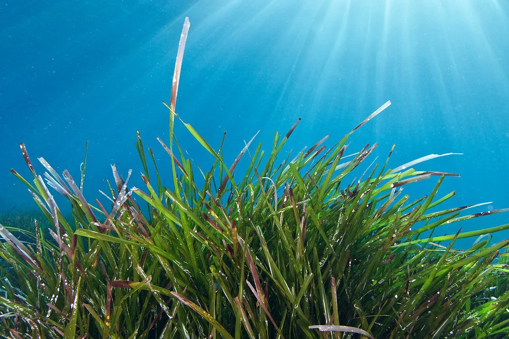
Seagrass Blue Carbon
Turneffe Atoll (Belize) is the 4th largest atoll in the world, and contains over 350 square km of seagrass meadows. In January 2019, I led a team to survey the associated sediment carbon store. This study developed a bespoke method, designed to be accessible to stakeholders, which combined satellite and drone mapping techniques with low-cost, DIY coring equipment.

Habitat Dynamics
Seagrass and mangrove habitats often border one another, with the boundary shifting in response to environmental factors such as sea level rise, or following extreme storm events. It is unclear how such a shift might influence the historic sediment carbon store, and whether sufficient data collection might allow any changes can be predicted and/or mitigated.

Microplastics
Seagrass habitats are potential sinks for microplastic pollution, but data on this is scarce. By quantifying microplastic contributions to modern seagrass sediments, we can begin to understand how prevailing environmental conditions influence their transport and storage in a dynamic Atoll environment. This work is led by Dr Alice Horton (NOC).