What happens to terrigenous organic matter in the land-ocean continuum?
“Many of the key processes relevant to decomposition of [terrigenous] carbon are missing from models, particularly for carbon stored in boreal and tropical peatlands, despite their vulnerability to warming and land use change”
— IPCC (2013)

Stressed Peatlands.
Healthy peatlands store carbon within their sediments on millennial time scales, but are increasingly vulnerable to land use change and warming. This may increase the export of peatland carbon into aquatic systems. I work to understand the fate of peatland organic carbon in the aquatic system, and how drought, fire, land use, and nutrient dynamics might influence this.

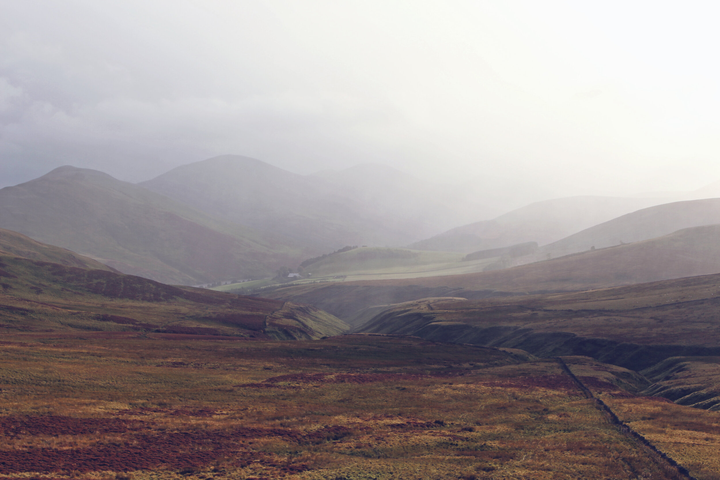
Drought.
In 2018, Europe’s largest peatland (N. Scotland) experienced its worst drought in 40 years. Sampling at monthly frequency for one year, we captured the onset of drought conditions through the re-wetting period. This data is being used to better understand how drought affects the fate of peat-derived organic matter in aquatic systems.

Fire.
In 2019, that same peatland burned for 6 days. This released carbon into the atmosphere in quantities comparable to Scotland’s total annual domestic emissions, and scorched a large surface area. I am using biodegredation experiments and PARAFAC analysis to understand what fire means for in-stream processing, and whether land use impacts post-fire recovery.

Nutrients.
The Falkland Islands’ remote nature and low population make them an ideal ‘natural laboratory’ where peatlands can be studied free from the human influence. We utilised the region’s lack of nutrient pollution to investigate ‘pre-industrial’ estuarine processing of peat-derived organic matter, potentially elucidating the true ‘baseline’ state of other temperate peatlands.

Land Use / Land Cover (LULC)
LULC influences the quantity and quality of local organic matter export. This means that what happens in the upper catchment of a river can have direct consequences further downstream and into the coastal zone. I use catchment scale studies which incorporate land use data to understand how human activities are influencing aquatic carbon cycling, with implications for coastal ecosystem function.

Drivers.
After contributing to an initial 1-year study of organic carbon export across the landmass of Great Britain, I am now investigating the influence of land cover on the quantity, quality, and end-fate of terrigenous organic matter in two study catchments: the Tamar (S.W. England) and the Conwy (N.W Wales).
I aim to understand some of the processes underpinning patterns identified at GB scale.

Land-Ocean.
Belize’s coastal zone is a biodiversity hot-spot, home to countless endangered species, and supports ~40% of national GDP. It is also the most forested country in Central America, but is experiencing the region’s fastest rate of deforestation whilst agriculture continues to expand and intensify. We are combining land cover data and PARAFAC analysis to investigate the potential for these activities to have a knock-on effect downstream in the coastal zone

Drought.
Along with my colleague Chris Barry from UKCEH and faculty from their home institute, I co-supervise 4 undergraduate students from the University of Belize. Together, those students have collected year-round monitoring data at 11 locations, including hydrology data and a full set of biogeochemical parameters. This data set is regionally unprecedented, and will provide important insights into the effects of land use and drought in the country’s largest watershed.